Features
Copyright 2022
Regularly updated, Full-color maps
Clearly labeled Interstate, U.S., state, and county highways
Indications of county boundaries, schools, shopping malls, parks, golf courses, hospitals, airports, and points of interest
Mileage and driving times map
Detailed index
Coverage Area Detailed maps of: Albany, Athens, Atlanta & Vicinity, Downtown Atlanta, Augusta, Brunswick, Columbus, Macon, Savannah
Discover More Best Sellers in Atlases & Maps
Shop Atlases & Maps
Rand McNally Folded Map: Los Angeles Street Map

 Atlases & Maps - Rand McNally Folded Map: Los Angeles Street Map

Rand McNally Easy To Fold: Michigan State Laminated Map
Atlases & Maps - Rand McNally Easy To Fold: Michigan State Laminated Map

Rand McNally Easy To Read Folded Map: Maine State Map
Atlases & Maps - Rand McNally Easy To Read Folded Map: Maine State Map
 Atlases & Maps - The Historical Atlas of New York City, Third Edition: A Visual Celebration of 400 Years of New York City's History
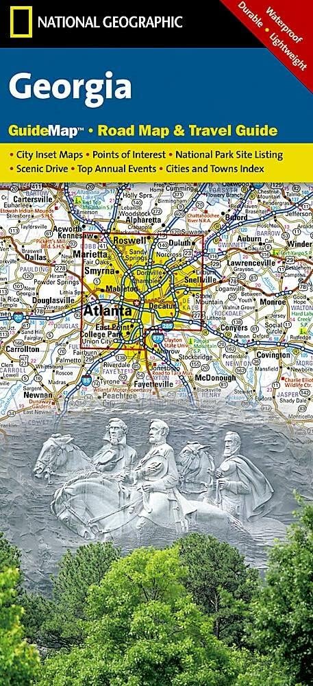
Georgia Map (National Geographic Guide Map)
Atlases & Maps - Georgia Map (National Geographic Guide Map)

The Library of Lost Maps: An Archive of a World in Progress
Atlases & Maps - The Library of Lost Maps: An Archive of a World in Progress

Rick Steves Scotland Planning Map: Including Edinburgh & Glasgow City Maps
Atlases & Maps - Rick Steves Scotland Planning Map: Including Edinburgh & Glasgow City Maps