
Description
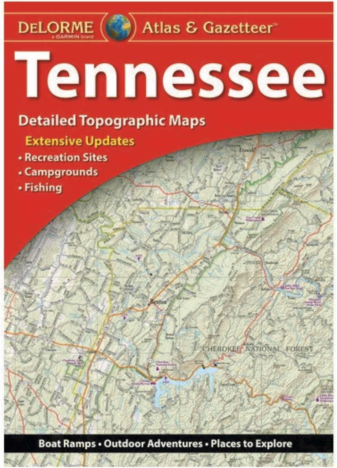
Book Synopsis: With an incredible wealth of detail, DeLorme's Atlas & Gazetteer is the perfect companion for exploring the Tennessee outdoors.
Details
Explore the majestic beauty of Tennessee's great outdoors with the DeLorme Atlas & Gazetteer. This invaluable guide is packed with extensively indexed, full-color topographic maps that provide detailed information on cities, towns, historic sites, scenic drives, trailheads, boat ramps, and prime fishing spots. With this comprehensive navigational tool in your hands, you'll never miss a hidden gem or breathtaking view. Discover the hidden wonders that Tennessee has to offer and create unforgettable memories with the DeLorme Atlas & Gazetteer.
Experience Tennessee like never before with the DeLorme Atlas & Gazetteer. Its full-color topographic maps not only provide accurate information on cities and towns, but also highlight the state's rich history and natural beauty. Whether you're planning a road trip, a hiking adventure, or a fishing excursion, this navigational guide has got you covered. With a handy latitude/longitude overlay grid for each map, you can confidently explore the great outdoors using your GPS device. Don't miss out on the chance to uncover the hidden treasures of Tennessee. Get your hands on the DeLorme Atlas & Gazetteer today!
Embark on an unforgettable journey through the pristine wilderness of Tennessee with the DeLorme Atlas & Gazetteer. This comprehensive guide provides 80 pages of meticulously detailed maps, ensuring that you never lose your way. Whether you're a history enthusiast, an avid hiker, or a passionate angler, this book offers valuable insights into the state's recreational areas, trailheads, boat ramps, and prime fishing spots. With inset maps for major cities and state lands, you'll always have a clear perspective of your surroundings. Get your hands on the DeLorme Atlas & Gazetteer and let the adventure begin!
Ready to explore the hidden gems of Tennessee? Don't leave home without the DeLorme Atlas & Gazetteer. This indispensable companion is your key to unlocking the secrets of the state's backcountry. With its comprehensive full-color topographic maps, you'll have all the information you need at your fingertips. Start planning your next adventure and discover the wonders of Tennessee today. Click here to get your own DeLorme Atlas & Gazetteer and begin your journey now!
Discover More Best Sellers in Reference
Shop Reference
Rand McNally Easy To Read Folded Map: Alabama State Map
 Reference - Rand McNally Easy To Read Folded Map: Alabama State Map
 Reference - Rand McNally 2024 Road Atlas - 100th Anniversary Collector’s Edition (Rand McNally Road Atlas: United States, Canada, Mexico)
 Reference - Rand McNally 2024 Large Scale Road Atlas - 100th Anniversary Collector's Edition (The Rand McNally Large Scale Road Atlas)

The Bucket List: 1000 Adventures Big & Small
Reference - The Bucket List: 1000 Adventures Big & Small

Spanish Phrases (Quick Study Academic) (English and Spanish Edition)
Reference - Spanish Phrases (Quick Study Academic) (English and Spanish Edition)

Guadalupe Mountains National Park Map (National Geographic Trails Illustrated Map, 203)
Reference - Guadalupe Mountains National Park Map (National Geographic Trails Illustrated Map, 203)

United States, Northeast Map (National Geographic Adventure Map, 3127)
Reference - United States, Northeast Map (National Geographic Adventure Map, 3127)


