
Description
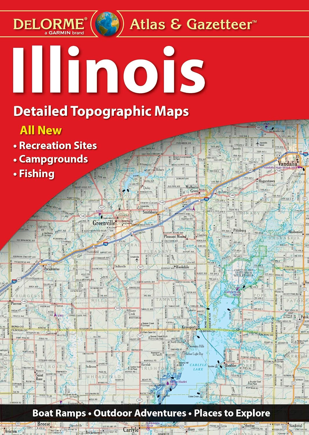
Book Synopsis: With an incredible wealth of detail, DeLorme's Atlas & Gazetteer is the perfect companion for exploring the Illinois outdoors.
Details
Are you ready to embark on an unforgettable adventure in the great outdoors of Illinois? Look no further than the DeLorme Atlas & Gazetteer. This incredible book is your ultimate companion, packed with an astonishing wealth of detail that will take your exploration to new heights. From bustling cities to hidden historic sites, from picturesque drives to secluded fishing spots, this Atlas & Gazetteer has it all.
Don't waste time trying to find your way around with outdated maps or unreliable GPS systems. The full-color topographic maps in the DeLorme Atlas & Gazetteer are extensively indexed, ensuring that you have the most accurate and up-to-date information at your fingertips. Plus, each map features a handy latitude/longitude overlay grid, allowing you to navigate with ease using GPS technology.
Planning to visit major cities or state lands? No problem! This comprehensive Atlas & Gazetteer provides convenient inset maps for all major cities as well as coverage of all state lands. You'll never be left feeling lost or unprepared again.
Measuring at a convenient size of 15.5" x 11", the DeLorme Atlas & Gazetteer is compact enough to take with you wherever your adventures lead. Whether you're an avid hiker, a nature lover, or a passionate angler, this book is a must-have addition to your gear.
Don't miss out on the chance to explore Illinois like never before. Get your hands on the DeLorme Atlas & Gazetteer today and unleash the adventurer within you. Get ready to conquer the backcountry!
Click here to purchase the DeLorme Atlas & Gazetteer and start your thrilling journey now!
Discover More Best Sellers in Atlases & Maps
Shop Atlases & Maps

DK Eyewitness Top 10 Azores (Pocket Travel Guide)
 Atlases & Maps - DK Eyewitness Top 10 Azores (Pocket Travel Guide)

Rand McNally Folded Map: Central United States Map
Atlases & Maps - Rand McNally Folded Map: Central United States Map

Rand McNally Folded Map: United States Map
Atlases & Maps - Rand McNally Folded Map: United States Map
 Atlases & Maps - National Geographic Concise Atlas of the World, 5th edition: Authoritative and complete, with more than 200 maps and illustrations

Olympic National Park Map (National Geographic Trails Illustrated Map, 216)
Atlases & Maps - Olympic National Park Map (National Geographic Trails Illustrated Map, 216)

Webster's International Atlas, Third Edition, Newest Edition
 Atlases & Maps - Webster's International Atlas, Third Edition, Newest Edition

Barcelona Map (National Geographic Destination City Map)
 Atlases & Maps - Barcelona Map (National Geographic Destination City Map)

