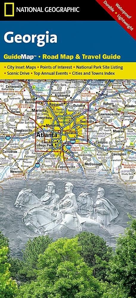
Features
Regularly updated, full-color maps
48% larger map with a bigger type size than the Rand McNally Folded Map
Clearly labeled Interstate, U.S., state, and county highways
Indications of county boundaries, schools, shopping malls, parks, golf courses, hospitals, airports, and points of interest
Mileage and driving times map
Detailed index
Copyright 2023
Coverage Area Detailed maps of: Albany/Schenectady, Binghamton, Buffalo/Niagara Falls, Central Long Island, Elmira, New York City & Vicinity, Manhattan, Rochester, Syracuse, Utica
Discover More Best Sellers in Reference
Shop Reference
Road Atlas Ireland: Touring edition A4 Paperback (Collins Road Atlas)

 Reference - Road Atlas Ireland: Touring edition A4 Paperback (Collins Road Atlas)

Rand McNally Easy To Read: Minnesota State Map
Reference - Rand McNally Easy To Read: Minnesota State Map

Ukrainian English Bilingual Visual Dictionary
 Reference - Ukrainian English Bilingual Visual Dictionary


Iceland Map (National Geographic Adventure Map, 3302)
Reference - Iceland Map (National Geographic Adventure Map, 3302)
![Reference - Sicily Map [Italy] (National Geographic Adventure Map, 3310)](https://m.media-amazon.com/images/I/51BgDnbdeaL._SL500_.jpg._AC_SL1500_.jpg)
Sicily Map [Italy] (National Geographic Adventure Map, 3310)
Reference - Sicily Map [Italy] (National Geographic Adventure Map, 3310)

Colombia Map (National Geographic Adventure Map, 3405)
Reference - Colombia Map (National Geographic Adventure Map, 3405)